CASFRI
CASFRI is a standardised representation of the landcover attributes used in all contemporary Canadian forest resource inventory (FRI) datasets.

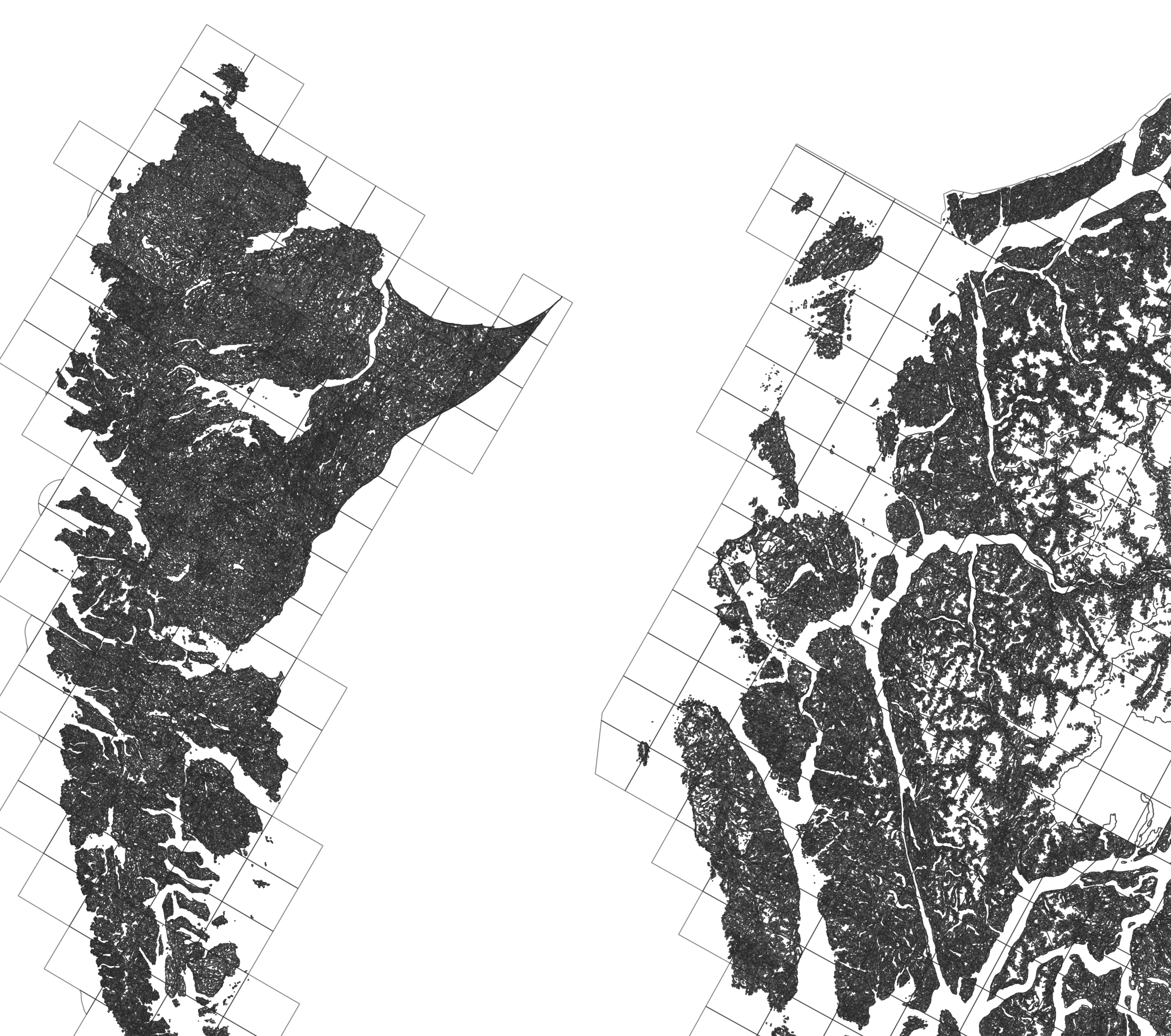
CASFRI includes data on forests, wetlands, non-forested elements such as shrubs, anthropogenic use and lakes/rivers, and disturbances such as fire and insects.
Datasets are combined across Canada, and repeated datasets in the same area are stacked to create a historical record of current and past conditions. This means CASFRI can be used to find the best available inventory information for any region in Canada, at any point in time.
CASFRI is an open source project using PostgreSQL, PostGIS, GDAL and R.
The project is stored on github
.
The project is stored on github
.